Featured Image Credit: Getty Stock Images
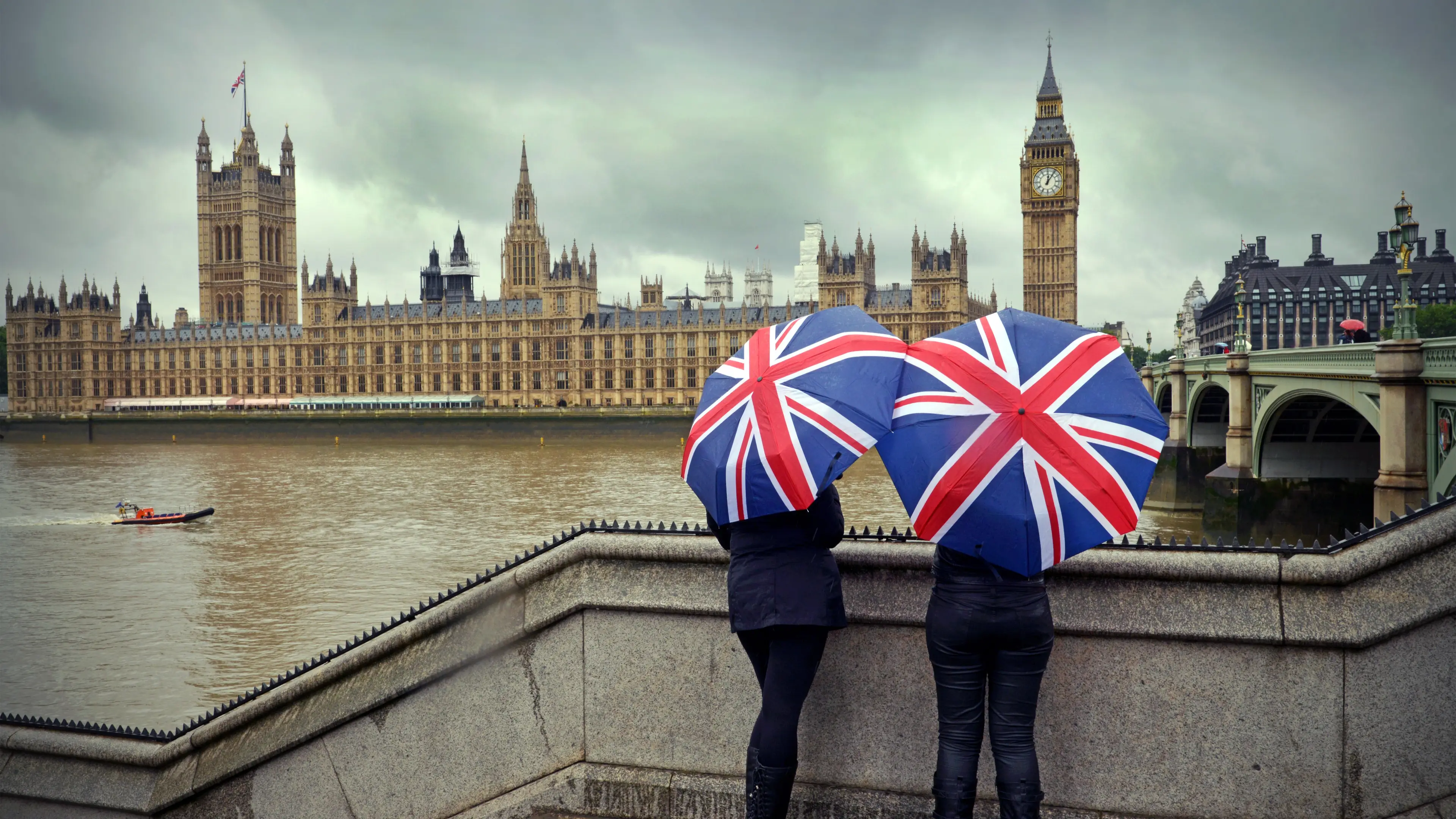
We Brits will know all too well just how miserable the weather can be here in Old Blighty.
It's been particularly bleak weather-wise this year, with the Met Office saying last week that rain had fallen every day of 2026 so far in parts of the UK, specifically southwest England and South Wales.
Cornwall and County Down logged their wettest January on record, while Northern Ireland endured its wettest January in 149 years.
Across the UK, 26 monitoring stations set new highs for total January rainfall.
Advert
Daily records tumbled too, with Plymouth seeing its wettest January day in 104 years, Hurn in Dorset in 74 years, and Dunkeswell in Devon in 57 years.
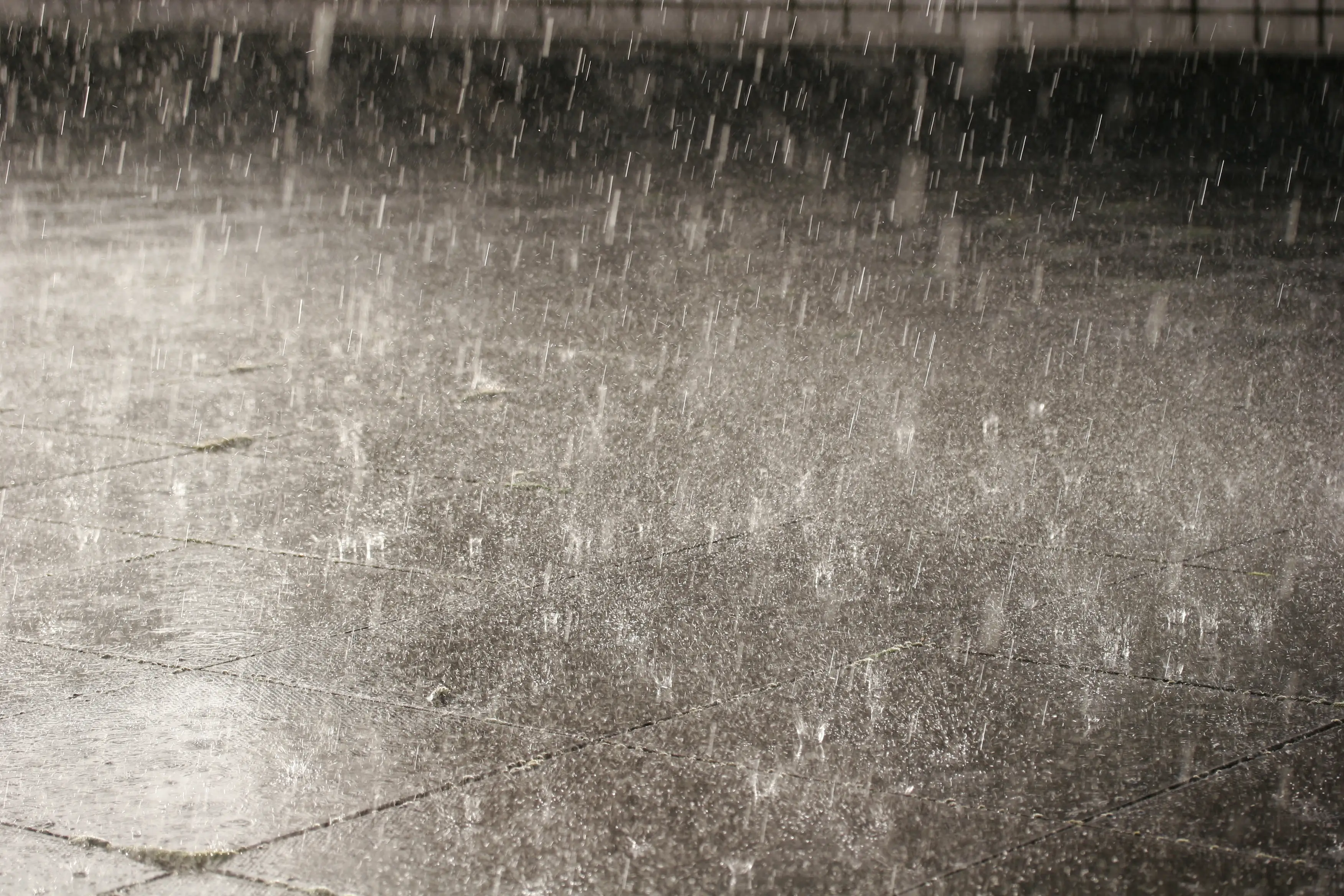
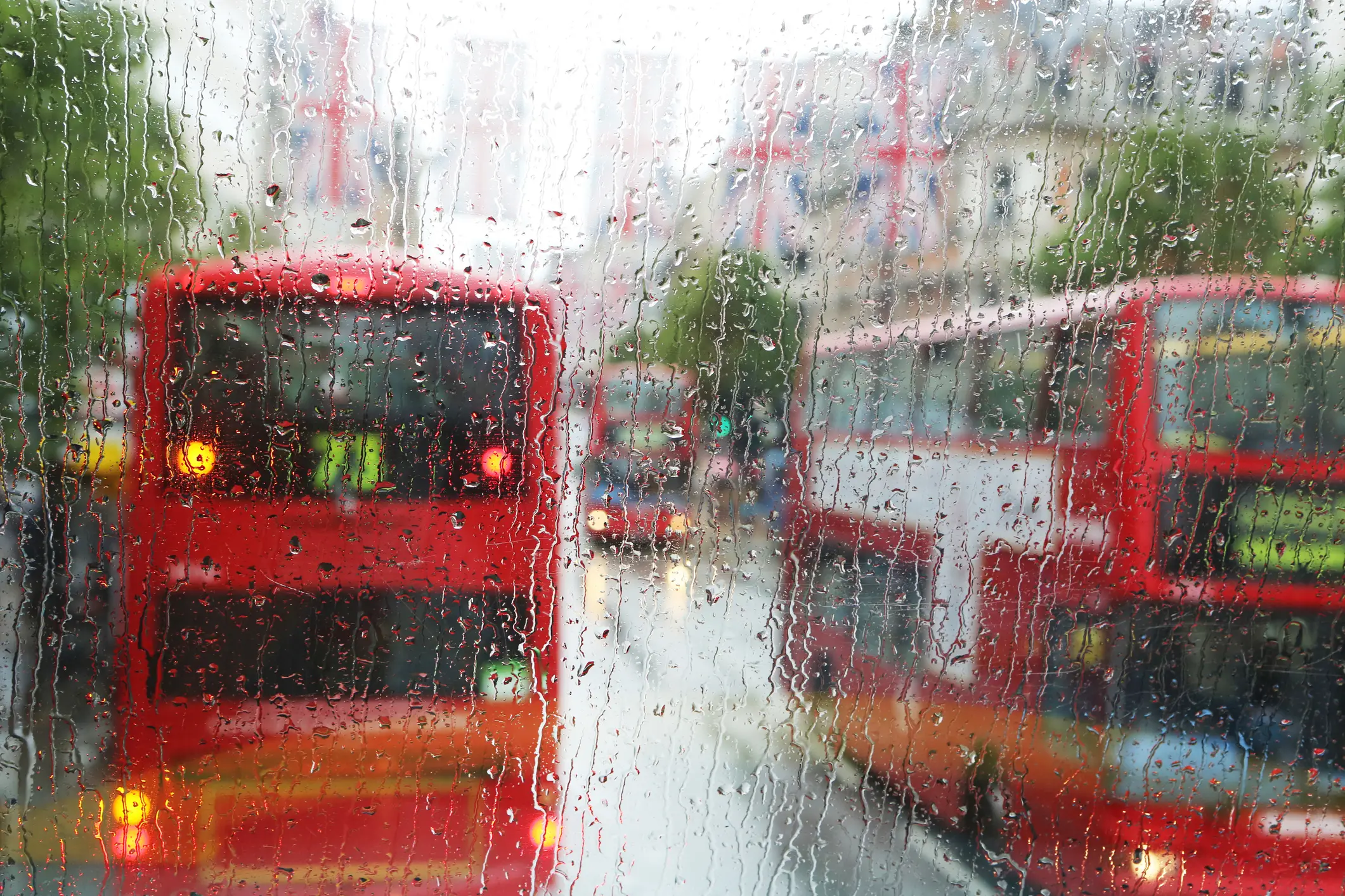
Other than increasing umbrella sales and increasing our heating bills due to the chilly temperatures, the constant rainfall has raised confusion amongst people over why it is raining so much in the UK right now.
Well, the Met Office have blamed the wet weather on jet streams and low-pressure weather systems.
A stalled low-pressure system has been sitting over the UK and western Europe, bringing persistent rain and cloud.
It's being held in place by a large high-pressure area over Scandinavia, which is blocking weather systems from moving east as they usually would. This type of 'blocked' pattern is fairly common, but, as we say, it has had a noticeable impact on the UK this year.
Blocked patterns vary depending on where the high pressure sits. If it parks over the UK, it keeps the rain away and creates long dry spells and, in summer, that can mean drought and heatwaves from south-easterly air.
In winter, it tends to bring dry, bright but cold conditions.

"The opening weeks of 2026 have been exceptionally wet across the UK," they said in a statement released yesterday (9 February). "A strong and unusually southerly jet stream has steered a succession of low‑pressure systems towards our shores, bringing frequent rain, strong winds and, at times, wintry hazards."
Chief Forecaster Neil Armstrong stated: "The past few weeks have felt relentlessly wet, with repeated bands of rain sweeping in from the Atlantic and creating increasingly saturated ground across large parts of the UK."
The expert then outlined that this 'persistent unsettled pattern' has been driven by a strong, south-shifted jet stream steering low-pressure systems directly towards the UK.
"Cold plunges of air across North America have strengthened the temperature gradient across the northwest Atlantic, energising the jet, while a blocking high over northern Europe has prevented weather fronts from clearing, causing them to stall over the UK," Armstrong noted.
According to the forecaster, the result has been 'continuous waves of rain, strong winds, and hill snow in parts of Scotland'.
"Daily rainfall records have also fallen, with Plymouth, Hurn and Dunkeswell all experiencing their wettest January day in several decades, and now, some areas have already seen their average February rainfall in just eight days," he added.
So, when will this relentless rain stop?
Well, Steven Keates, a Deputy Chief Forecaster, explained: "In the near term, the unsettled theme is expected to continue, with further showers or longer spells of rain for most.
"We are likely to see the transition from wet and windy weather to colder, more settled conditions towards the end of the week, with Saturday (14 February) looking a fine day for many.
"But, this reprieve doesn’t last long, as the next set of Atlantic weather fronts looks set to move in from the west at the end of the weekend."