
Scientists discover what's causing deadly Super El Niño - and it is living in the Pacific Ocean

Scientists have made a discovery about the predicted Super El Niño and it could be lurking in the Pacific Ocean.
An El Niño refers to a continuous period of warmer than usual sea surface temperatures across the Pacific.
A super El Niño - also known as a strong El Niño - is a term used to describe a very intense El Niño, when temperatures rise to a particularly high level - usually around 1.5-2 degrees celsius higher than average.
Experts are predicting that we could experience one in 2026. It's particularly significant, because scientists think that this El Niño could have the potential to raise temperatures by three degrees celsius, making it particularly intense, as per the Boston Globe.
Advert
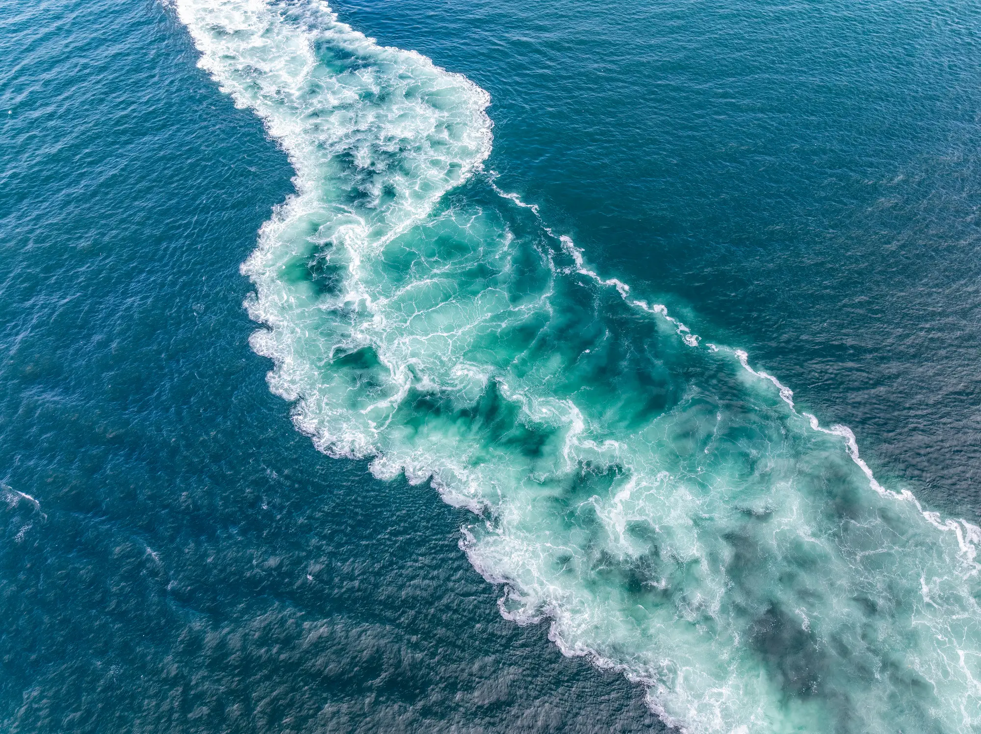
As scientists learn more about the upcoming El Niño, they think that a warm, undersea structure could be contributing to the weather pattern.
The 'Kelvin wave' is essentially a pool of warm water within the Pacific Ocean, reaching 13.5 degrees Fahrenheit above average.
It might not seem like much, but it's hugely significant in the ocean.
“The current Kelvin wave is impressive and, by some measures we look at, it is rivaling the one we saw in 1997,” Michelle L’Heureux, a researcher with the National Oceanic and Atmospheric Administration’s Climate Prediction Center told The Washington Post.
The El Niño of 1997-1998 was the strongest recorded in the 20th century and resulted in drought, flooding and natural disasters around the globe.
Severe Weather explains that Kelvin waves are driven by wind bursts which push warmer waters to the east, where they rise to the surface.
"This is a direct example of how the atmosphere can drive ocean changes," the site explains.
What are the consequences of a super El Niño?
According to Severe Weather, forecasts for summer 2026 have already confirmed a shifting of the planetary jet stream, which could mean that the effects of the super El Niño may be felt as early as the first half of summer.
BBC explain that the El Niño will strengthen over the coming months and peak as a very strong event in the autumn of this year.
Essentially, it could result in 2027 being the warmest year on record.
Following the El Niño in 2023/2024, the hottest years on record were reported, with the global average surface temperature sitting 1.55 degrees celsius above the 1850-1900 average.
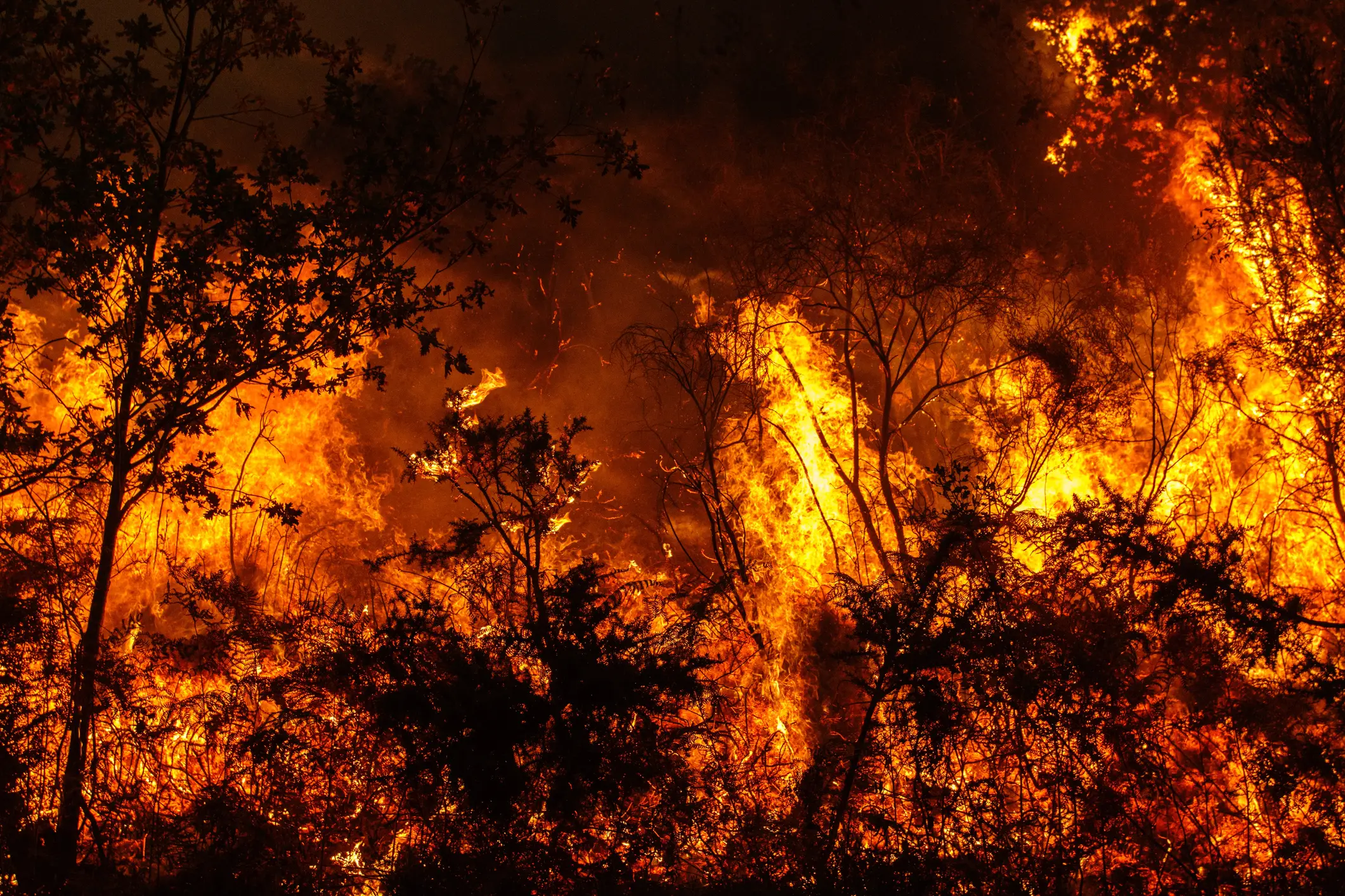
A super El Niño can be particularly damaging for the planet, due to flooding, as well as less rainfall and the potential for drought conditions.
There is also a greater risk of wildfires, particularly in Australia, Indonesia and areas of America.
The highest peak of a super El Niño currently stands at 2.7 degrees celsius, recorded in 1877. It lasted 18 months and, as per BBC, 'triggered a catastrophic global climate event, causing extreme drought and widespread famine across Asia, Brazil, and Africa which killed millions, while producing severe flooding in other regions like Peru'.
How does an El Niño year happen?
Strap in, folks. It’s time for some science.
It all starts with something called trade winds, which are permanent winds around the equator which usually blow from east to west. So in the equatorial Pacific, they blow from the Americas towards Australia and New Zealand.
As the wind blows the water east, it is warmed by the sun, so by the time it gets to the other side of the Pacific, the warm water causes hot air to rise, leading to warm, wet and unsettled weather. Meanwhile, colder water from deeper in the ocean rises in the east to replace the water blown west.

What trade winds normally look like (Getty Stock Image)
But during El Niño years, this gets disrupted.
When trade winds are weakened or even reversed, the temperature difference between the east and west is cancelled out, and usually cold parts of the ocean warm up.

What happens during an El Niño year (Getty Stock Image)
Rainfall and wind patterns change across the equatorial Pacific, which has a knock-on effect around the world.
Anyone else's head hurt a bit?
Topics: World News, Weather, Science
 Lucy Devine