
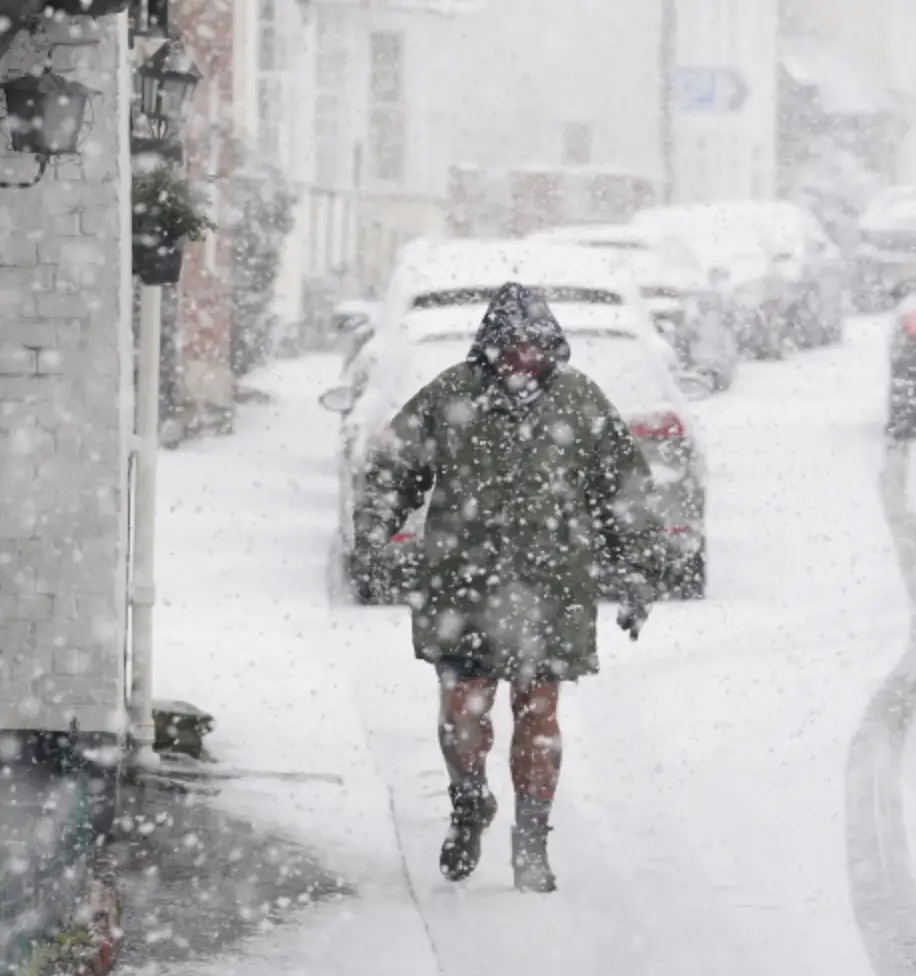
Brits warned of more snow showers as temperatures continue to plummet across country
Be sure to whack on extra layers, grab your raincoat and wrap up in a big old scarf as Brits are getting ready to brace for freezing weather as temperatures continue to plummet.
We've had a pretty gruelling cold spells as of recent with the Met Office already issuing a warning about an Arctic blast that will be bringing more snow and freezing temperatures to the UK next week.
But now, a major deep freeze and even more snow showers could end up sweeping over the entire country in just a few days time.
Advert
The official Met Office weather forecast for next week reads: "Winter weather hazards remain largely in focus, and an increasing risk as we move through the week."
Exacta Weather forecaster James Madden has since shared that he reckons the snow risk is greater than any year since 2010.
"Over the next few weeks, there will be a high chance of snow with the risk higher than the same period over the past few years or indeed, since the big freeze of 2010," he told GB News.
The forecaster continued: "It is likely we are about to start seeing images of vast regions of the nation covered in snow during a cold spell which is likely to hold out for an extended period.
"As well as the risk of snow, we will see harsh overnight frosts and the coldest temperatures dipping as low as -15C in the coldest parts of the country over the coming weeks."

Met Office meteorologist, Aidan McGivern, said for next week: "We start with a northerly airflow and snow showers, especially near the coasts in the north. But there will also be brighter skies for some. Then, from the middle of next week, low pressure tries to move in from the southwest, and the impact of this is still a bit uncertain at this range.
"Different models are saying different things in terms of the track of this low, but you have the ingredients for snow with cold air in place and additional moisture supplied from the Atlantic, which will bring rain, but on the boundary with the cold air, you could see some snow."
A spokesperson from the Met Office told Tyla: "We are likely to see cold temperatures and snow next week."
However, they were unable to cannot substantiate claims of the 'worst snowstorm and coldest deep freeze in 14 years', which has been widely reported.
They continued: "It is worth nearing in mind we had ~50 cm of snow in Sheffield last March and considerable snow over higher parts of Scotland as recently as Storm Gerrit.
"Potentially impactful snow is possible for some next week, as an arctic airmass exerts its influence on the UK’s weather.
"A northerly airflow will bring cold arctic air to the UK from Sunday and into early next week, with snow showers at that time focused across northern areas of Scotland and Northern Ireland."
The spokesperson added: "Through the middle of next week, with cold air firmly in place over the UK, there’s a chance of disruptive snow for some areas as milder Atlantic air pushes in from the southwest."