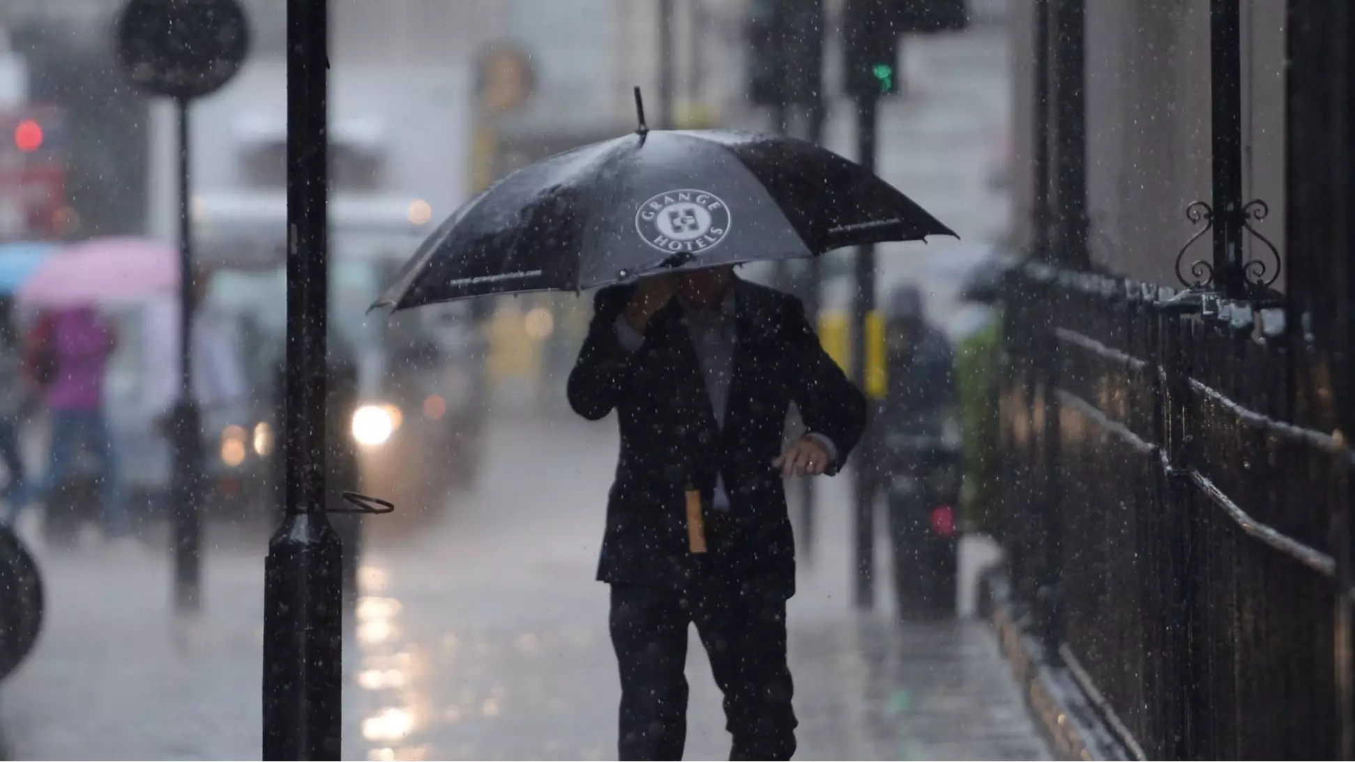
While this weekend may gave been a scorcher, the MET Office has warned that the Indian summer is now officially over. Sorry, folks.
Issuing a yellow weather warning for Tuesday, the experts state that England and Wales should expect some very heavy rain and even flooding as the effects of Hurricane Humberto finally reach us.
Advert
Speaking to Pretty 52, MET Office meteorologist and press officer Bonnie Diamond said: "This week the weather is dominated by low pressure across the UK, and tomorrow in particular is going to be a wet day across England and Wales.
"Warm air and bursts of very heavy rain are expected across England and Wales from the early hours, and this will be spreading eastwards across the country throughout the day."
Bonnie added: "There will also be potential for hail, lightening and heavy winds throughout the day, the main hazard is the heavy rain."
Advert
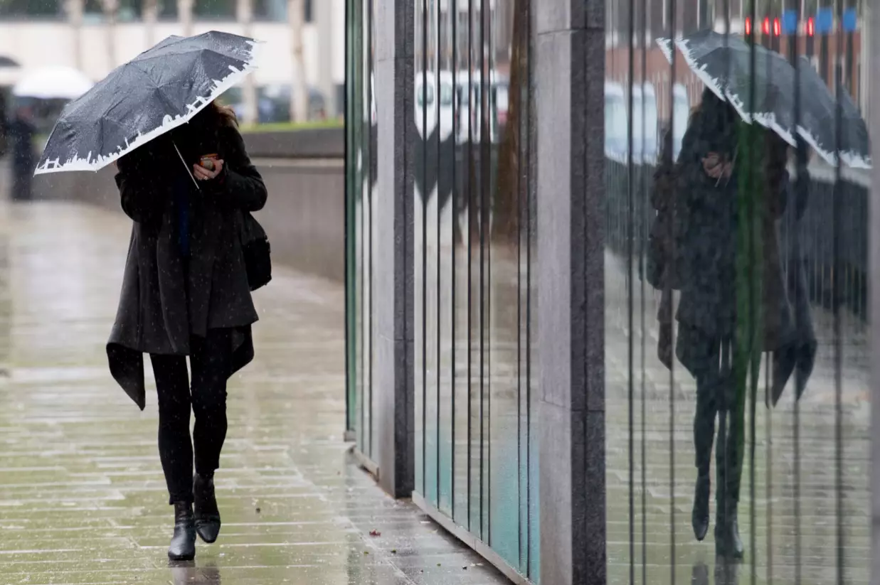
At its worst, the rain could hit 70mm within nine hours, so you'd better get your brollies ready.
While Tuesday is likely to be the worst for rainfall, we are likely to see the effects of the hurricane persist up until Thursday this week.
The MET Office adds that this rain is likely to cause damage to some buildings in badly affected areas, some communities may be cut off by flooded roads and in severe cases there could even be a danger to life.
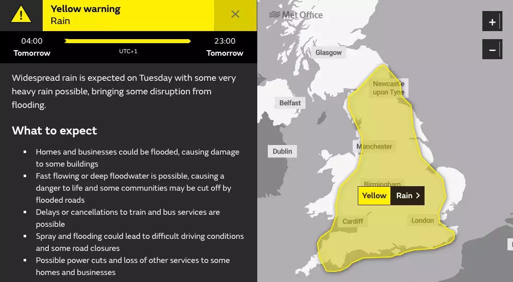
Travel delays should also be anticipated, with cancellations possible on some bus and train routes and even potential road closures.
Advert
Plus, power shortages could occur as a result of the possible lightening strikes.
At its most powerful, Humberto was labelled a Category 3 Hurricane, but its intensity has decreased since it has travelled across the North Atlantic.
It comes after this weekend's weather hit highs of 21 degrees, meaning the change in conditions are likely to be a shock to the system.
Buckle up guys, it was fun while it lasted....
Featured Image Credit: PATopics: Met Office, Weather, News, Life