Scary detail spotted on live flight map during Hurricane Melissa
Topics: Environment, World News
 Ella Scott
Topics: Environment, World News
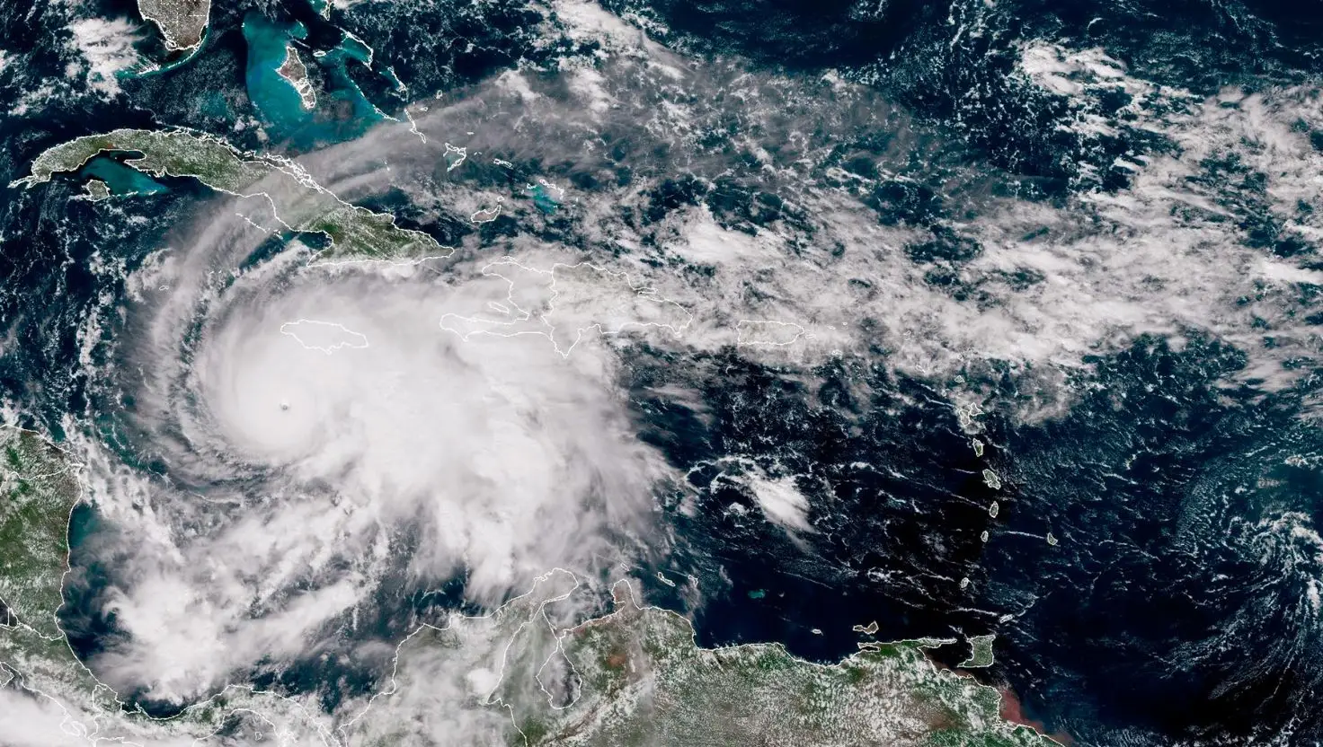
Flight fanatics have noticed a scary detail on a live map of Hurricane Melissa - a Category 5 hurricane set to devastate Jamaica.
Described as the world’s strongest storm of the year, meteorologists are warning of ‘catastrophic and life-threatening’ conditions engulfing the tropical island.
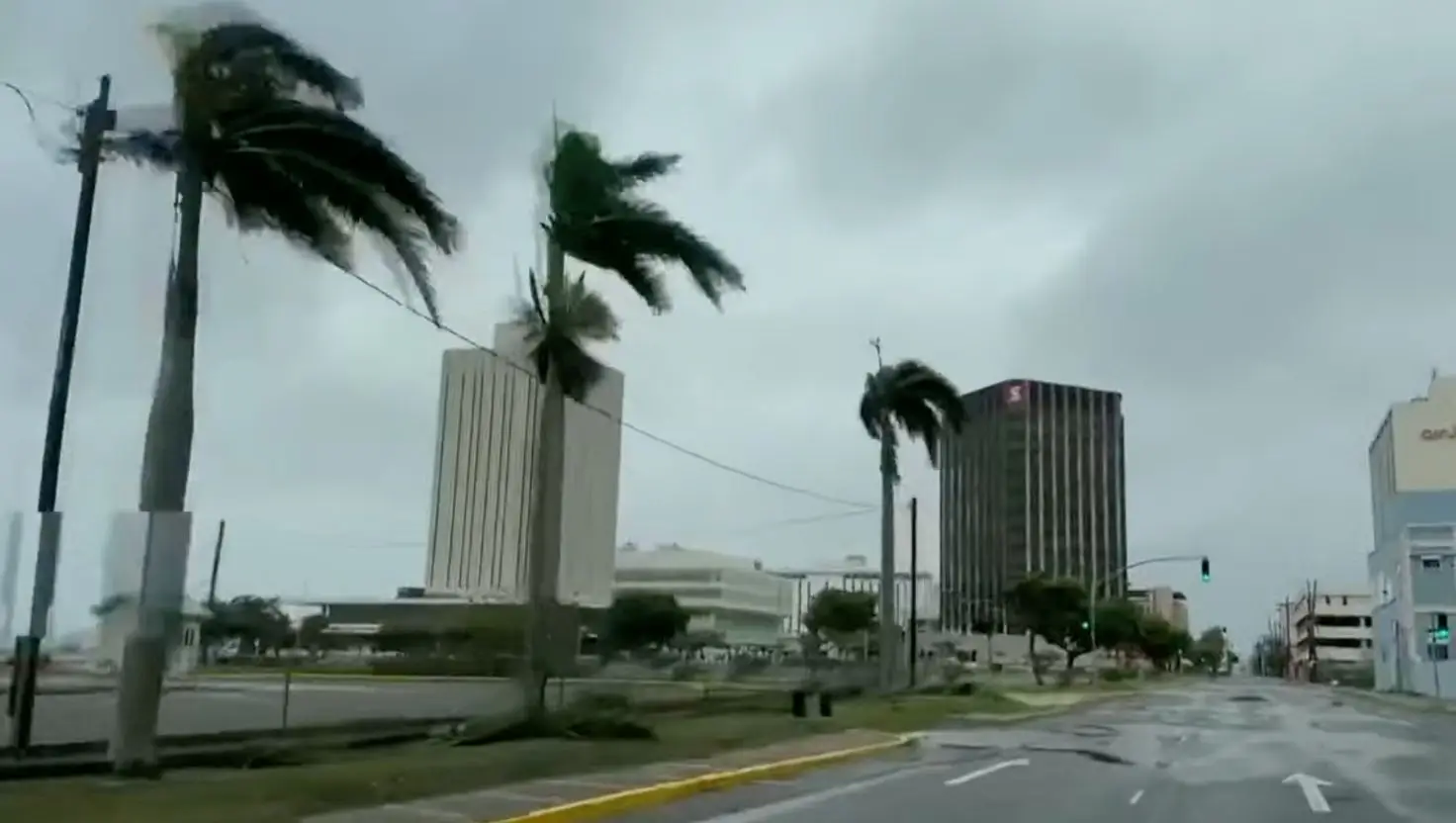
While we don’t exactly know when it’ll make landfall, experts do believe terrifying wind speeds could reach up to 185mph (295 km/h), as per Sky News. It’s also understood that Jamaica could get as much as 30 inches of rain (76cm).
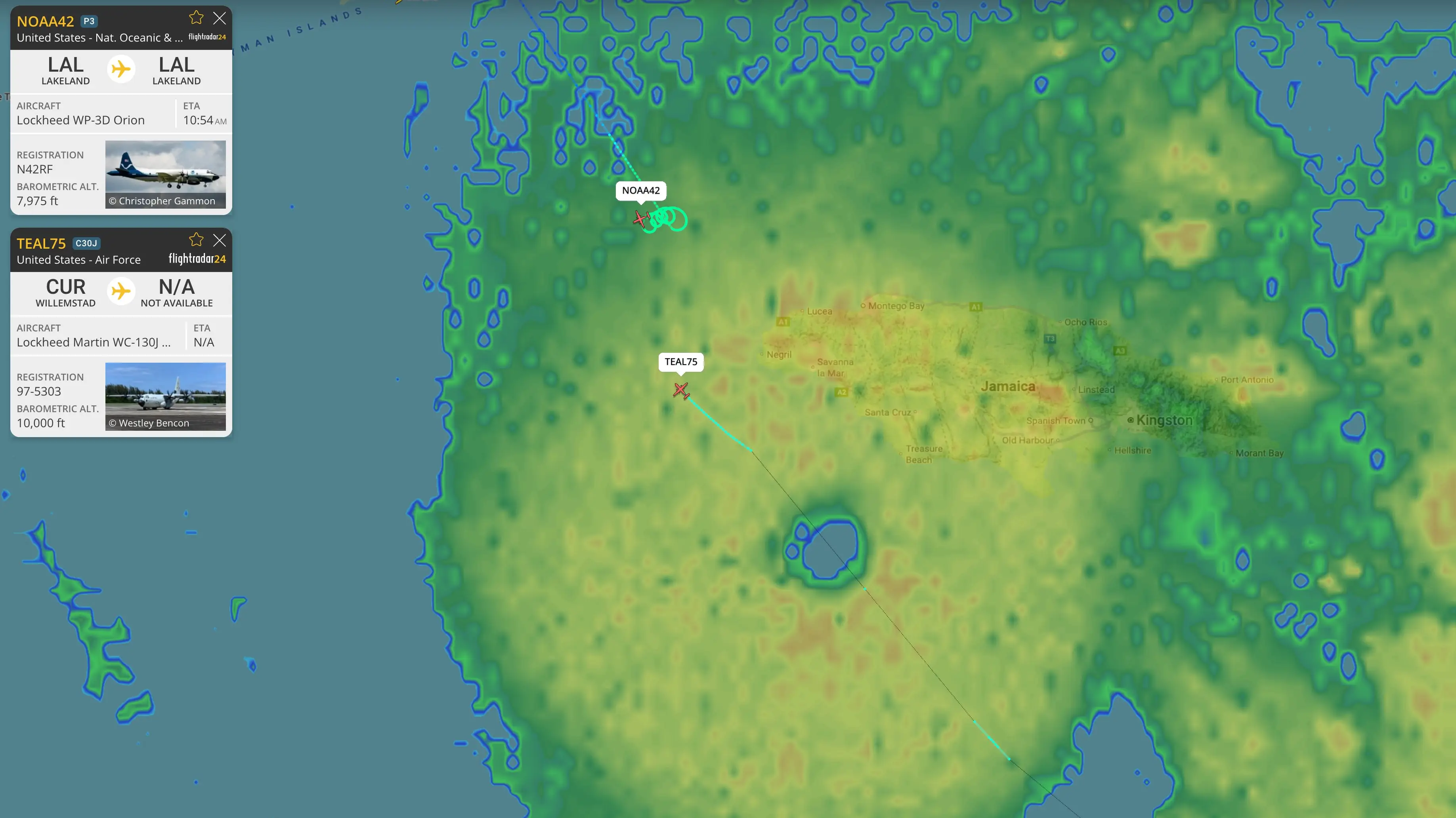
The image in question is from Flightradar24, a live air traffic tracking service that shows real-time positions of commercial aircraft flying around the globe.
Advert
Earlier today, Flightradar24 shared a screenshot to its X (formerly Twitter) account that captured two planes travelling through Hurricane Melissa at 8,000 and 10,000 feet.
The latter was a Lockheed WP-3D Orion, piloted by the United States National Oceanic and Atmospheric Administration - AKA a hurricane hunter.
The plane took off from Lakeland, Florida, at 7.24am local time (11.24am) and is set to return to Lakeland Linder International Airport later today.
At the time of writing, NOAA42 is the most-tracked plane worldwide on Flightradar24.
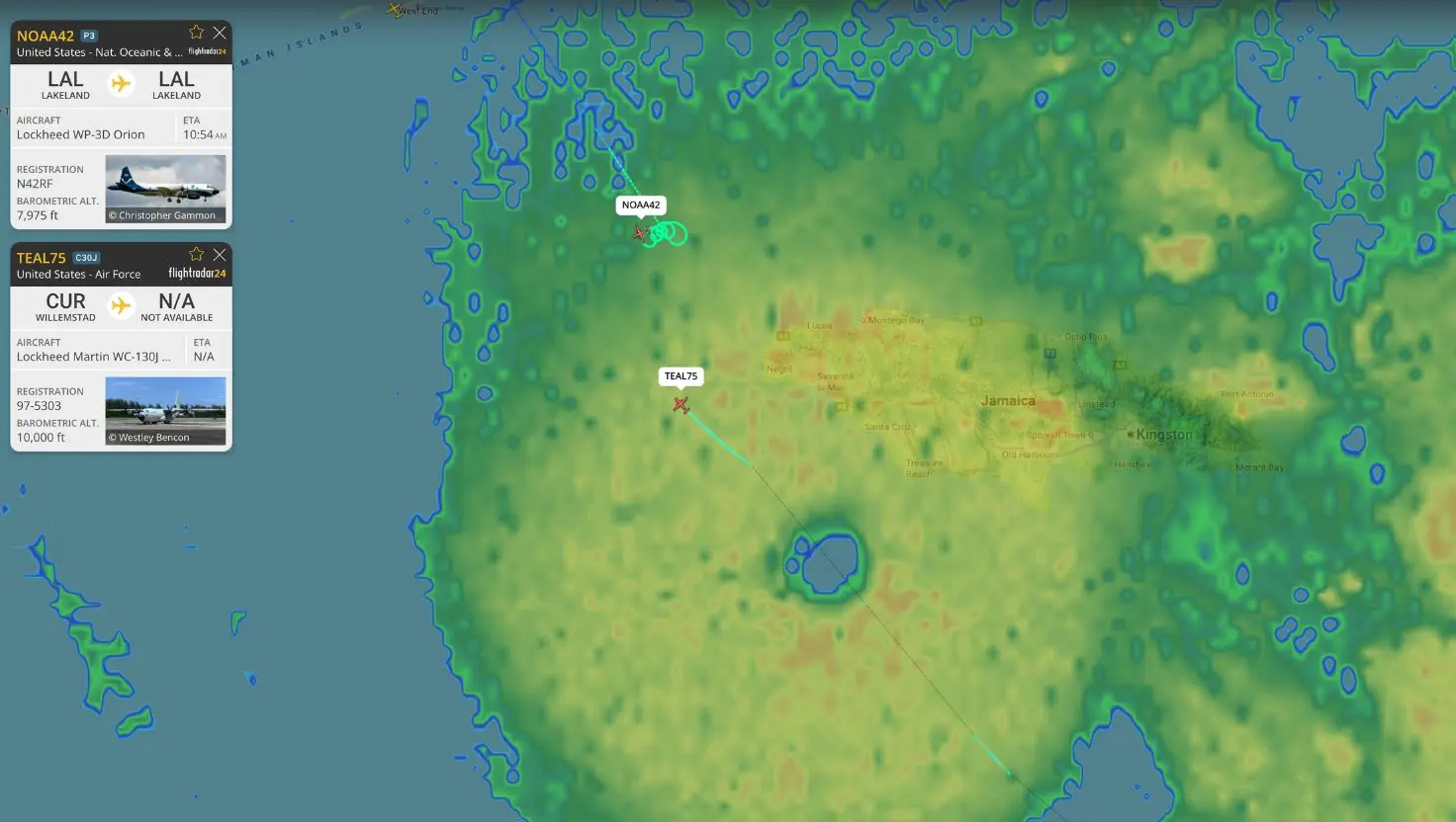
“It is currently located on the Caribbean Sea off the coast of Jamaica,” typed one tracker, who shared an updated image of NOAA42’s whereabouts.
The other aircraft that was spotted on the live flight map during Hurricane Melissa was TEAL75, a Lockheed Martin WC-130J Weatherbird.
The 53rd Weather Reconnaissance Squadron, a flying unit of the United States Air Force, operates this plane. It took off from Willemstad, Curaçao.
The two legendary aircraft flew straight into the eye of Hurricane Melissa to collect vital atmospheric data, according to a popular X account, AirNav Radar.
No other planes are currently departing or landing in Jamaica, as the country has suspended all international air traffic.
A recent BBC report claimed that critical power infrastructure in Jamaica’s capital city, Kingston, was down and that the internet was being powered solely by generators.
Three people have already died in the natural disaster, while 15 others have been injured while preparing for the storm.
The National Hurricane Center has advised anyone in Jamaica not to leave shelters, remarking the ‘best thing to do’ is put as ‘many walls as possible between you and the outside’.
A meteorologist has warned that the Caribbean country could become ‘unrecognisable’ as conditions worsen.
"Things are looking grave for Jamaica tonight. Just when you thought it couldn't get any worse, it is,” wrote Dylan Federico.
"A new ring of storms have exploded around the eye… I wouldn't be surprised if Melissa's pressure falls below 900mb before striking Jamaica tomorrow.”
"This is a horrible development for Jamaica because it means Melissa will likely be at its peak strength when it makes landfall," he continued.
"The core of destructive winds will cause complete structural failure to even the strongest of buildings.”
After devastating Jamaica, the hurricane is expected to venture ashore in Cuba later on Tuesday. The southeast Bahamas and Turks and Caicos will also feel its wrath on Wednesday, according to ABC News.